Oct 10, 2022 | Land
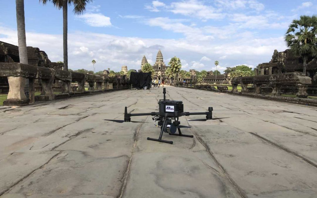
Drone land surveying, just like traditional land surveying, is the practice of measuring 3D points on land areas for evaluation. The difference is that drone surveying employs unmanned aerial vehicles, or UAVs for short. Drone surveys are an excellent asset in the...